A Capital Designed to Breathe, Not Just Function
Among the world’s capital cities, very few were built with beauty as a primary objective rather than an afterthought. Islamabad stands apart precisely for this reason. Conceived as a purpose-built capital, it was planned to harmonize nature, governance, culture, and daily life in a way that feels deliberate, calm, and enduring.
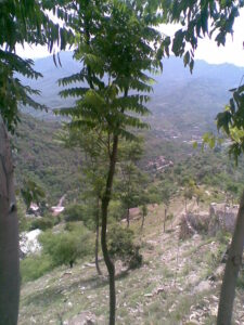
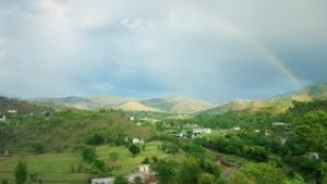
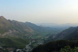
Nestled at the northern edge of the Potohar Plateau and framed by the forested Margalla foothills, Islamabad is not simply the political heart of Pakistan—it is one of the rare capitals where landscape defines the city, not the other way around. This intrinsic relationship between urban planning and nature is what consistently places Islamabad among discussions of the most beautiful capital cities on Earth, a distinction explored in depth in The Most Beautiful Capital of the World.
Detailed Statistical Profile of Islamabad, Pakistan
| Aspect | Verified & Updated Information |
|---|---|
| Official Name | Islamabad |
| Status | Federal Capital of Pakistan |
| Administrative Unit | Islamabad Capital Territory (ICT) |
| Country | Islamic Republic of Pakistan |
| Established | Planned in 1959; officially became capital in 1967 |
| Master Planner | Constantinos Apostolou Doxiadis (Greece) |
| Total Area | 906 km² (350 sq mi) |
| Urban Area | Approx. 220 km² |
| Elevation | ~ 540–610 meters above sea level |
| Population (City) | ~ 1.3 million (2024–2025 estimate) |
| Population (Metro – Islamabad–Rawalpindi) | 5+ million |
| Population Density | ~ 2,000 persons per km² (urban core) |
| Geographic Location | Northern Pakistan, Potohar Plateau, foothills of the Margalla Hills |
| Topography | Rolling plains, forested hills, seasonal streams |
| Climate Type | Humid Subtropical (Cwa) |
| Average Summer Temperature | 30–38 °C |
| Average Winter Temperature | 3–18 °C |
| Annual Rainfall | ~ 1,100–1,200 mm |
| Seismic Zone | Moderate seismic risk (Zone 2B) |
| Time Zone | Pakistan Standard Time (UTC +5) |
| Official Language | Urdu |
| Widely Used Language | English (administration, education, diplomacy) |
| Other Spoken Languages | Punjabi, Pashto, Hindko, Potohari |
| Government Role | Seat of Federal Government, Parliament, Supreme Court, Diplomatic Enclave |
| Number of Foreign Embassies | 100+ diplomatic missions |
| Economic Base | Government services, diplomacy, education, IT, real estate, services sector |
| GDP Contribution | High per-capita contribution relative to population |
| Major Universities | Quaid-e-Azam University, NUST, COMSATS, PIEAS, IIUI |
| Literacy Rate | 85–90% (one of the highest in Pakistan) |
| Healthcare Infrastructure | Public & private tertiary hospitals, research institutes |
| Major Hospitals | PIMS, Shifa International, Federal Govt. Services Hospital |
| Transportation | Motorways, Islamabad International Airport, Metro Bus, ride-hailing |
| Airport | Islamabad International Airport (ISB) |
| Green Coverage | One of the highest green-area ratios among Asian capitals |
| National Park | Margalla Hills National Park |
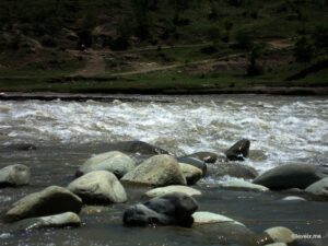
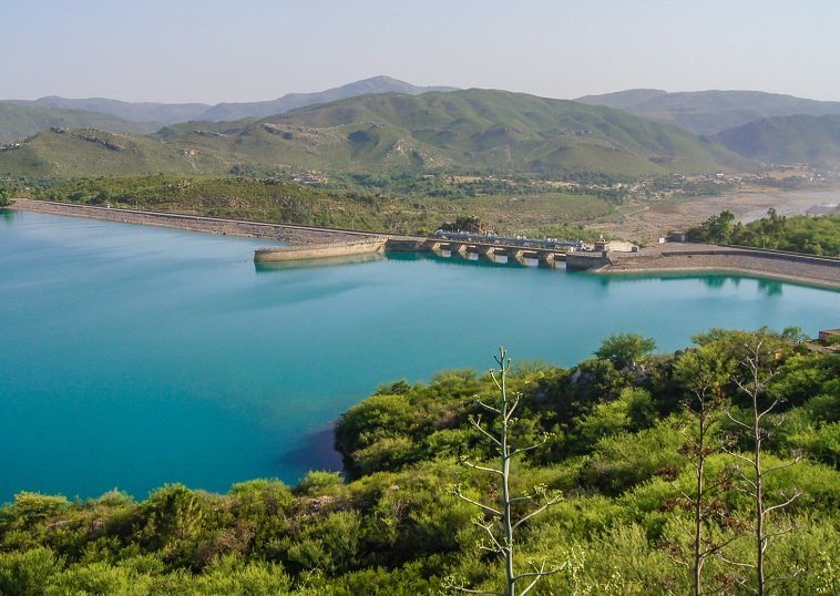
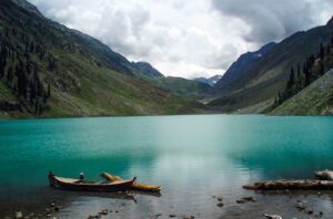
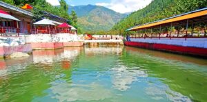
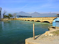
| Major Water Body | Rawal Lake |
| Iconic Landmarks | Faisal Mosque, Pakistan Monument, Daman-e-Koh, Lok Virsa Museum |
| Major Urban Parks | Fatima Jinnah (F-9) Park, Shakarparian, Lake View Park |
| Urban Planning Model | Sector-based grid system |
| Safety Ranking (Pakistan) | Consistently among the safest major cities |
| Cost of Living | Higher than national average, lower than global capitals |
| Tourism Role | Gateway city to Northern Pakistan |
| Overall Reputation | Clean, green, planned, calm, high quality of life |
Geographic Setting: Where the City Meets the Hills
Islamabad’s Natural Location Advantage
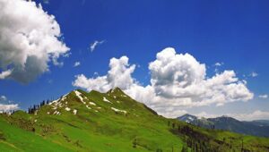
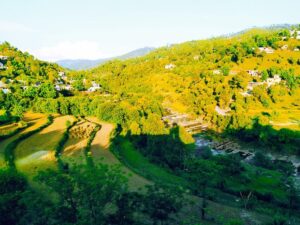
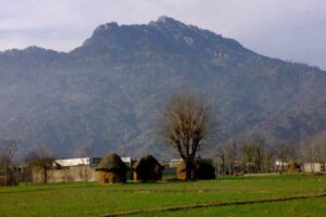
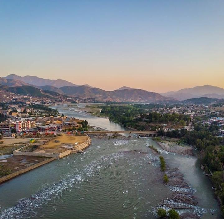
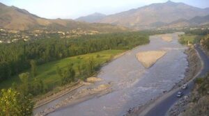
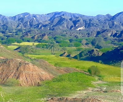
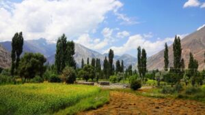
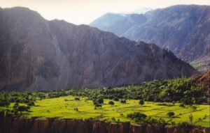
Islamabad occupies a uniquely privileged position in northern Pakistan, sitting at the junction of Punjab and Khyber Pakhtunkhwa. To the north rise the Margalla Hills—part of the Himalayan foothill system—while the south opens into the plains that historically connected the subcontinent’s trade routes and civilizations.
This placement gives the city an immediate visual identity:
green ridgelines, seasonal mist, monsoon-fed streams, and long sightlines where urban neighborhoods dissolve into forested slopes.
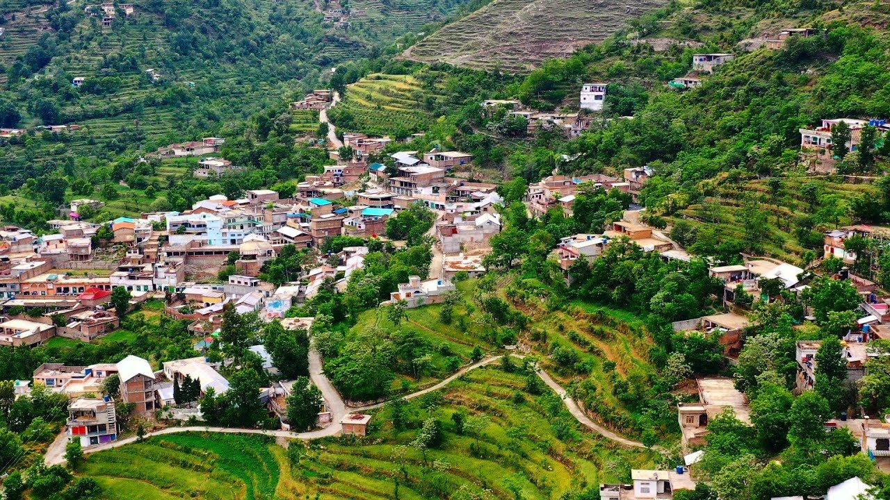
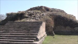
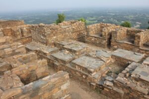
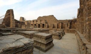
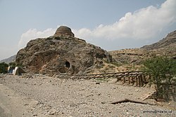
The surrounding terrain connects seamlessly with historically significant regions such as the Potohar Plateau, a landscape that has hosted ancient settlements, Buddhist monasteries, and early human habitation for thousands of years.
Climate That Shapes the City’s Rhythm
Islamabad’s moderate, humid subtropical climate further reinforces its livability and visual appeal:
-
Warm summers moderated by elevation and monsoon rainfall
-
Cool winters with crisp mornings and light fog
-
Spring and autumn marked by blooming trees, flowering parks, and clear skies
Unlike many dense capitals, Islamabad’s climate encourages outdoor life—walking trails, viewpoint cafés, lakeside parks, and forest hikes are woven into everyday routines rather than reserved for weekend escapes.
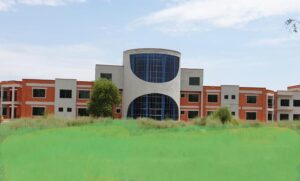
A Master-Planned Capital with Human Scale
The Vision Behind Islamabad’s Design
Islamabad was officially designated as Pakistan’s capital in the early 1960s, created to replace Karachi and establish a centrally located, secure, and purpose-built seat of government. Greek architect and urban planner Constantinos Apostolou Doxiadis designed the city using a grid-based sector system, ensuring balance between administration, residential life, and green space.
Unlike organic cities that grow chaotically, Islamabad was planned to feel spacious, with:
-
Clearly defined residential sectors
-
Wide tree-lined avenues
-
Separate commercial and diplomatic zones
-
Dedicated green belts and national parks
This structured planning still defines the city today and is explored in detail in Islamabad – Capital of Pakistan: History & Famous Places.
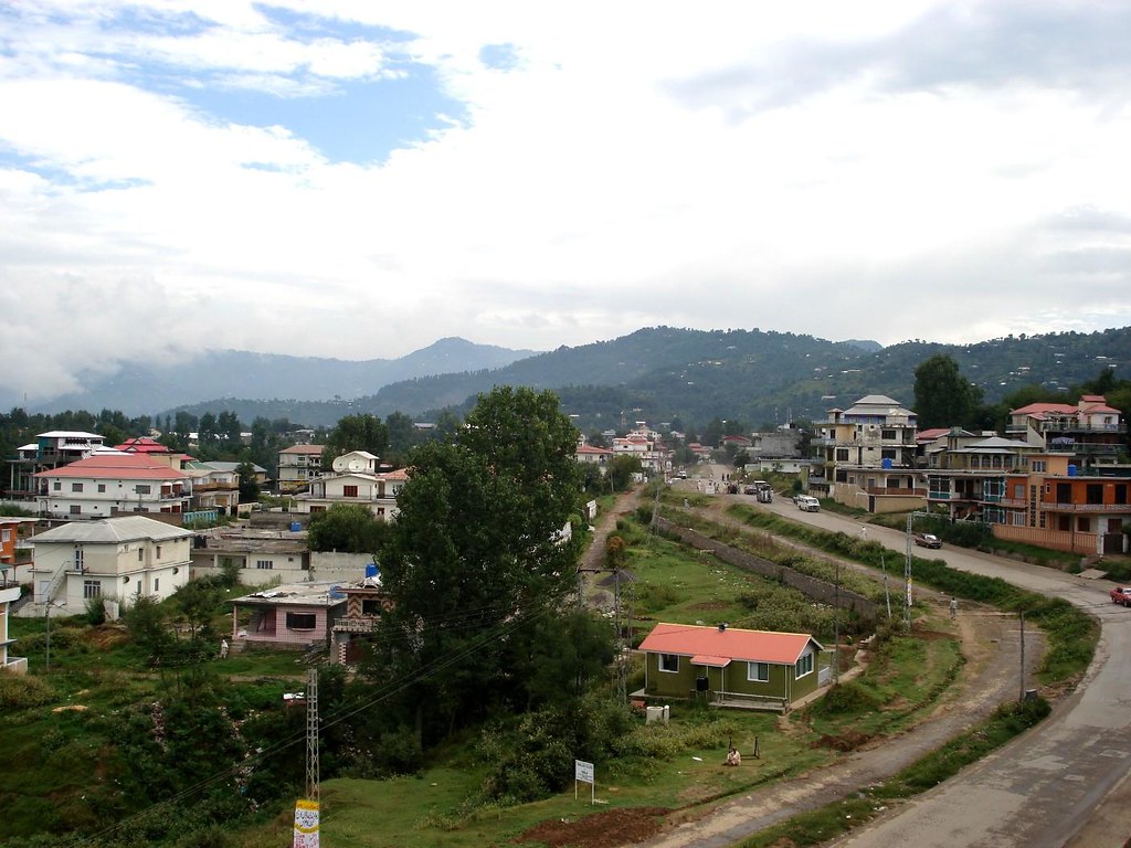
Sectors That Feel Like Neighborhoods, Not Blocks
Each sector functions as a small, self-contained neighborhood with schools, markets, mosques, parks, and cafés. This human-scale design prevents the anonymity and congestion common in mega-capitals, making Islamabad feel livable rather than overwhelming.
The result is a city where residential calm exists minutes away from government offices, hiking trails, and cultural landmarks—an urban experience few capitals manage successfully.
The Green Identity of Islamabad
A Capital Built Around Nature
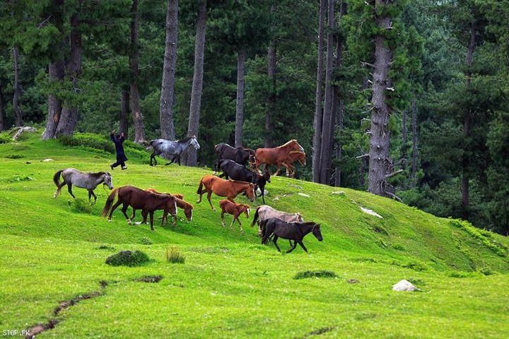
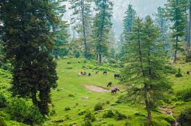
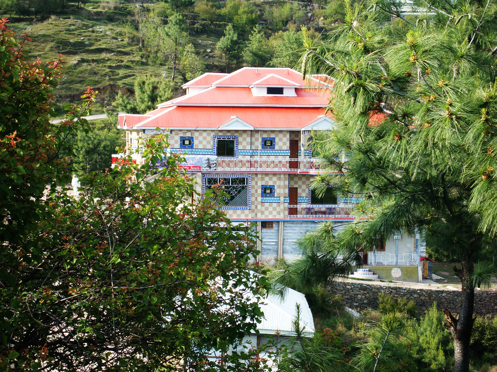
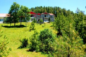
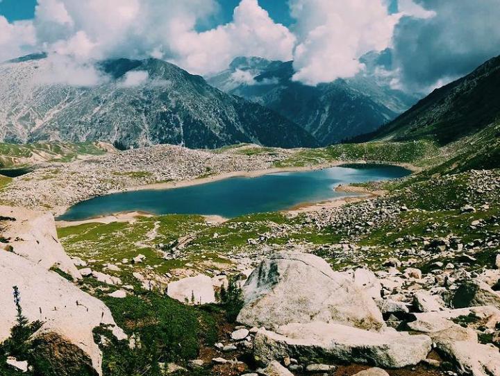
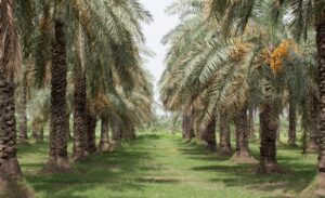
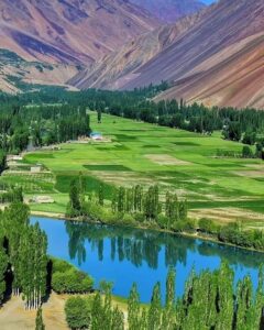
Islamabad is one of the greenest capitals in Asia by design, not accident. Forest reserves, national parks, and open spaces were embedded into the city’s blueprint long before urban sprawl could threaten them.
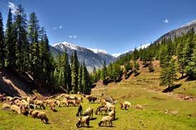
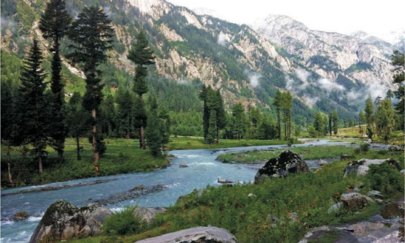
At the heart of this identity lies the Margalla Hills National Park, a protected area offering hiking trails, wildlife habitats, and panoramic viewpoints that overlook the entire city. These hills form a natural northern wall, shielding Islamabad from unchecked expansion and preserving its visual harmony.
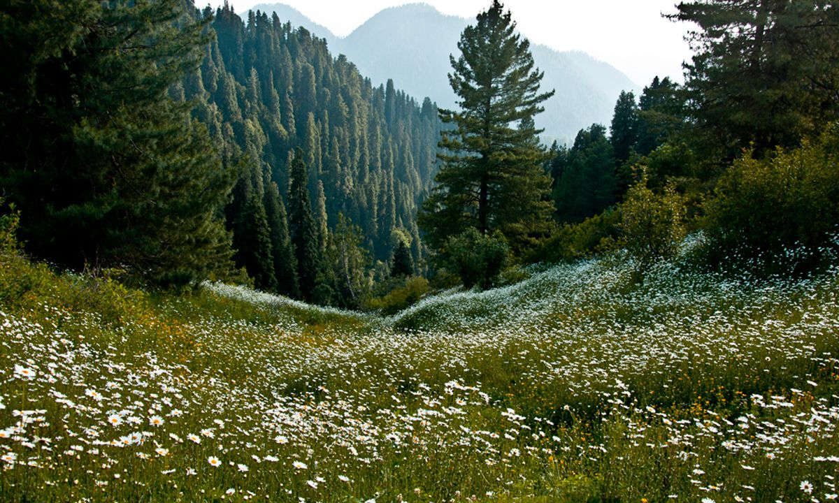
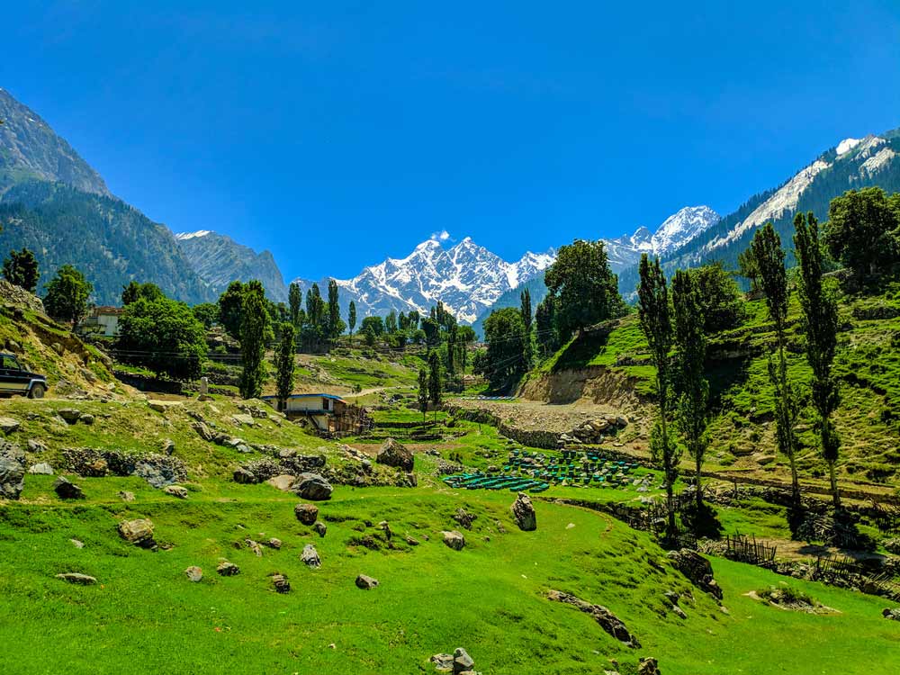
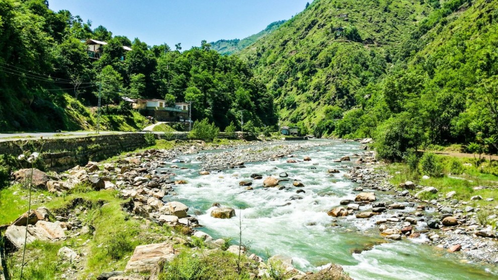
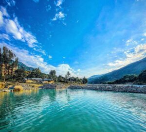
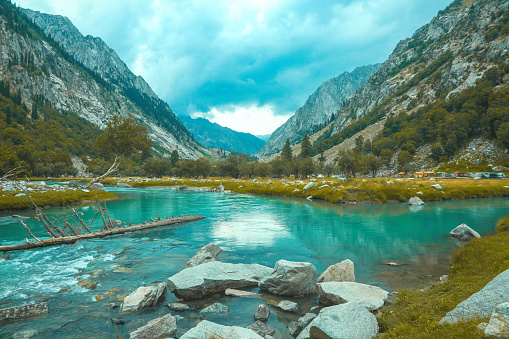
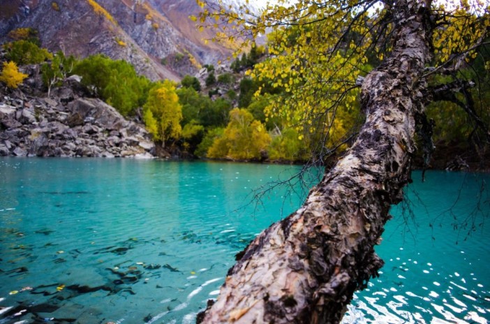
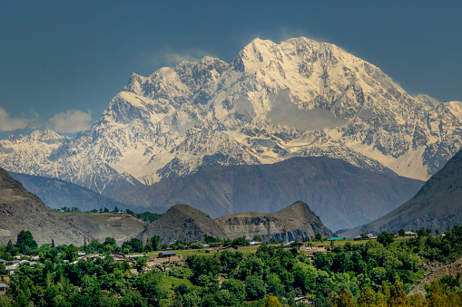
This connection between city and wilderness echoes across northern Pakistan, from the forests surrounding Murree to the mountainous corridors leading toward Khyber Pakhtunkhwa.
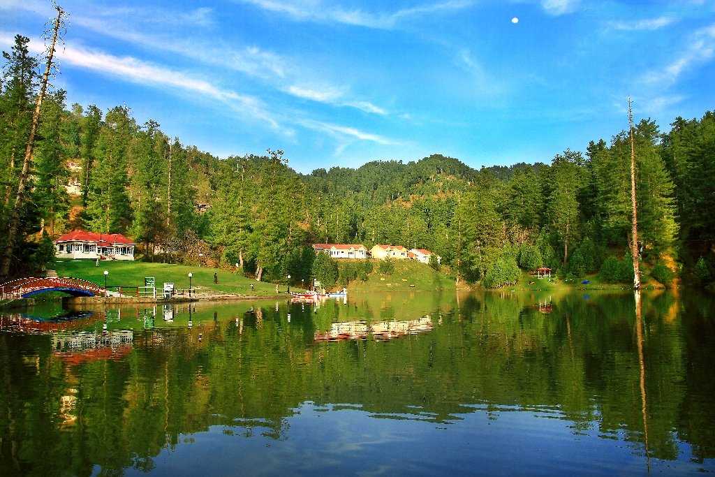
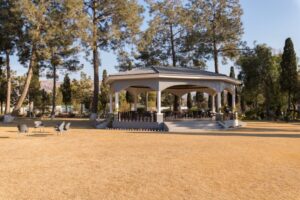
Parks, Lakes, and Urban Breathing Spaces
Islamabad’s beauty is not confined to its outskirts. Inside the city, green spaces dominate daily life:
-
Vast urban parks that function as social centers
-
Tree-covered boulevards that soften traffic corridors
-
Lakeside retreats offering calm within city limits
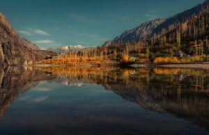
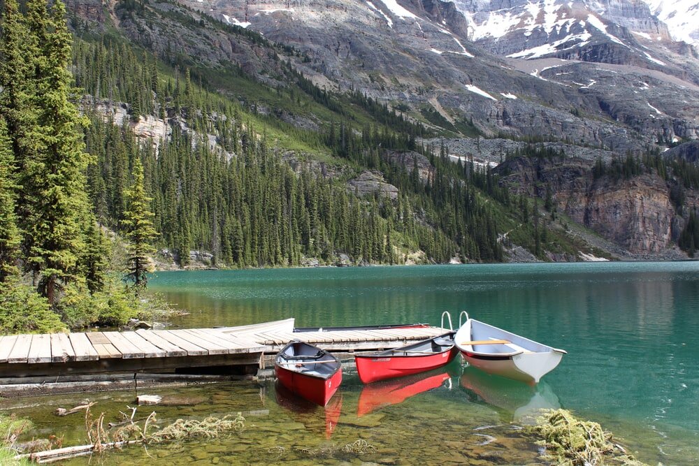
Rawal Lake, a major reservoir and recreational hub, anchors the city’s southeastern edge, while central parks create continuous green corridors across multiple sectors. This intentional greenery reinforces Islamabad’s reputation as a capital that prioritizes well-being alongside governance.
Islamabad’s Visual Landmarks: Where Identity Takes Form
Architecture That Complements the Landscape
Islamabad’s most iconic structures were designed to enhance, not dominate, their surroundings. Rather than competing with nature, architecture here often frames it.
The city’s skyline is deliberately restrained, allowing hills, forests, and open skies to remain visually dominant. This restraint distinguishes Islamabad from capitals defined by dense high-rise clusters or aggressive monumentality.
A Capital That Feels Calm, Not Crowded
What visitors often notice first is not a single monument, but the overall atmosphere—quiet roads at dawn, mist drifting over hills, birdsong in residential sectors, and uninterrupted views across valleys.
This calm is rare among world capitals and is a direct result of Islamabad’s planning philosophy, environmental protections, and geographic placement.
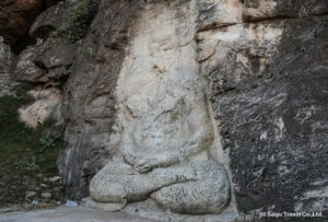
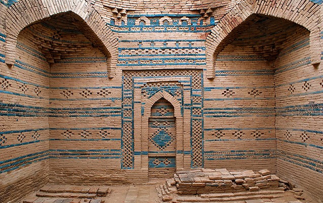
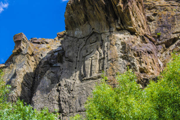
Where a Young Capital Inherits an Ancient Civilization
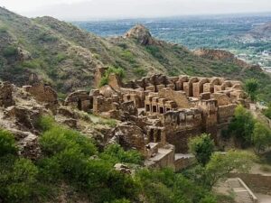
Although Islamabad is one of the world’s youngest capitals, its cultural depth is anything but shallow. The city stands on land shaped by ancient Gandharan civilization, Mughal-era routes, and centuries of migration flowing between Central Asia and the plains of Punjab. This layered inheritance quietly informs Islamabad’s identity, giving it a cultural gravity often overlooked by those who focus only on its modern design.
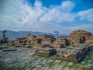
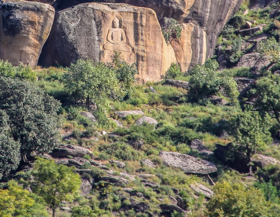
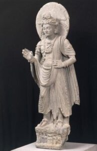
Just a short drive west lies Taxila, a UNESCO-recognized archaeological landscape that once housed Buddhist universities attracting scholars from across Asia. This proximity places Islamabad within one of South Asia’s oldest intellectual and spiritual corridors, linking it historically to regions such as Peshawar and the ancient trade routes of the northwest.
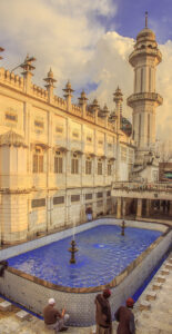
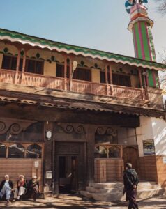
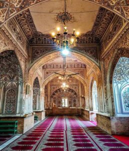
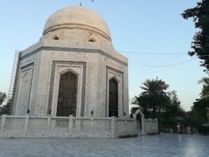
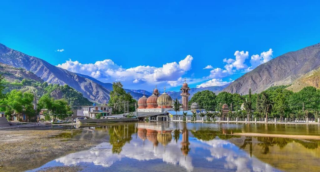
Faisal Mosque: The Architectural Heart of the Capital
More Than a Mosque – A National Symbol
No structure defines Islamabad more powerfully than the Faisal Mosque. Set against the Margalla Hills, its stark white geometry rises not as an ornament, but as a visual anchor between the city and the mountains.
Unlike traditional domed mosques, the Faisal Mosque embraces a modernist design inspired by a Bedouin tent, symbolizing openness, unity, and faith without excess. Its scale, among the largest in the world, is matched by its restraint—an architectural philosophy deeply aligned with Islamabad’s broader aesthetic.
The mosque’s placement reinforces the city’s spatial intelligence: visible from multiple sectors, framed by natural slopes, and never isolated from its surroundings. This harmony between sacred space and landscape is a defining characteristic of Islamabad’s beauty and a key reason the city consistently earns global admiration as explored in The Most Beautiful Capital of the World.
Pakistan Monument and Shakarparian: Symbolism in Stone and Space
A Narrative of Unity Overlooking the City
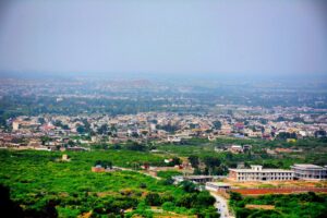
Perched above the city at Shakarparian Hills, the Pakistan Monument stands as Islamabad’s most symbolic landmark. Designed to represent the four provinces and three territories of Pakistan, it transforms abstract national identity into physical form.
The surrounding parkland offers sweeping views across Islamabad, Rawalpindi, and beyond—views that reveal how deliberately the city was laid out. From here, the contrast between Islamabad’s structured sectors and Rawalpindi’s organic sprawl becomes immediately apparent, highlighting the intentional planning that defines the capital’s character.
This elevated landscape connects Islamabad not only to Rawalpindi but also to the broader Potohar region, historically linking the capital to cities such as Attock and the ancient forts guarding the Indus crossings.
Lok Virsa Museum: Pakistan’s Cultural Memory Preserved
A Living Archive of Traditions
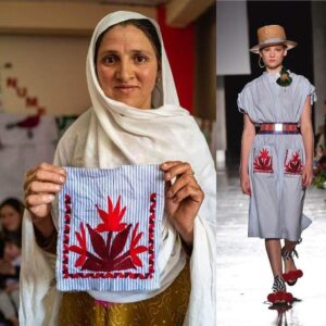
If Islamabad’s architecture reflects modern aspirations, the Lok Virsa Museum preserves the soul of Pakistan’s past and present. This ethnographic complex showcases traditional crafts, regional music, folk architecture, and daily life from across the country—from the deserts of Tharparkar to the valleys of Gilgit-Baltistan.
Walking through Lok Virsa is less like visiting a museum and more like traveling through Pakistan’s provinces in condensed form. It reinforces Islamabad’s role as a cultural meeting point, where diverse identities coexist rather than compete.
This cultural inclusivity mirrors the capital’s diplomatic character, hosting embassies and international institutions while remaining rooted in indigenous traditions.
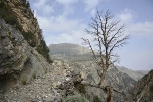
Daman-e-Koh and the Viewpoints of Perspective
Seeing Islamabad from Above
Few capitals offer such easy access to elevated viewpoints within city limits. Daman-e-Koh, nestled halfway up the Margalla Hills, provides panoramic views that reveal Islamabad’s spatial clarity—straight avenues, green belts, and sector grids unfolding below.
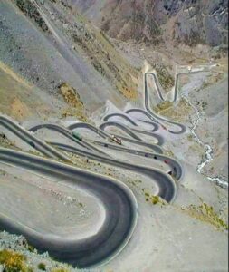
At dusk, when city lights emerge and the hills darken into silhouette, Islamabad reveals a quieter beauty—calm, measured, and unhurried. This experience is inseparable from the broader mountain culture of northern Pakistan, connecting Islamabad emotionally to destinations like Murree and the forested routes leading toward Abbottabad.
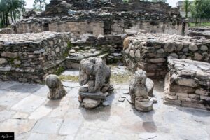
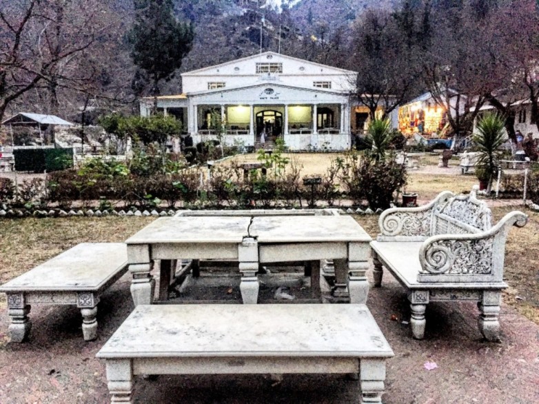
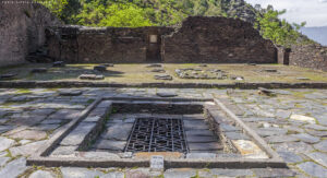
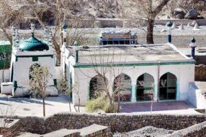
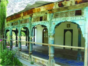
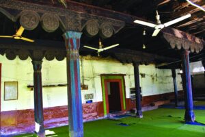
Saidpur Village: Where Time Slows Inside the Capital
A Village Older Than the City Itself
Hidden at the foothills of the Margalla range, Saidpur Village predates Islamabad by centuries. Once a Hindu settlement, later shaped by Sikh and Muslim influences, it now stands restored as a cultural enclave within the capital.
Stone pathways, old temples, and traditional eateries coexist here, offering a rare sense of continuity between Islamabad’s modern identity and the region’s pre-capital past. This coexistence reflects the broader historical layering found across northern Punjab, from Gujrat to Jhelum.
A Capital of Education, Diplomacy, and Thought
Intellectual Life Beyond Monuments
Islamabad’s cultural depth is reinforced by its role as an educational and intellectual hub. Major universities, research institutions, and think tanks attract students and scholars from across Pakistan, contributing to a cosmopolitan yet grounded social fabric.
This academic atmosphere links Islamabad conceptually to historic centers of learning such as Lahore while maintaining its own quieter, research-oriented identity.
Diplomatic enclaves, international cultural centers, and literary festivals further enrich the city’s cultural calendar, ensuring Islamabad remains globally engaged without sacrificing its calm character.
A City Experienced Slowly, Not Consumed Quickly
What ultimately sets Islamabad apart from other capitals is how it invites experience. It does not overwhelm with spectacle or density; instead, it reveals itself gradually—through sunrise over hills, afternoon walks in shaded sectors, museum courtyards echoing with folk music, and viewpoints that encourage reflection.
Islamabad’s beauty lies not in excess, but in balance.
Islamabad Is Not an Endpoint — It Is a Beginning
What ultimately elevates Islamabad from a beautiful capital to a pillar destination is not only what exists within its boundaries, but what it connects you to. Islamabad functions as Pakistan’s most strategic travel gateway, linking plains to mountains, heritage to wilderness, and urban comfort to raw landscapes within a few hours’ drive.
For travelers, Islamabad is rarely consumed in haste. It is absorbed slowly—often as a base city—before journeys fan out toward the north, the plateau, or deeper into Punjab’s historic heartland.
How to Reach Islamabad: Routes That Shape the Experience
By Road: The Capital as a Crossroads
Islamabad is one of Pakistan’s best-connected cities by road, and the journey itself often feels scenic rather than exhausting.
-
From Lahore and central Punjab, the motorway passes through the rolling terrain of the Potohar Plateau, dotted with salt ranges, lakes, and historic settlements.
-
From Khyber Pakhtunkhwa, access routes descend from the Hazara region, linking Islamabad naturally with Abbottabad and onward to the mountain valleys.
-
From Rawalpindi, the transition is almost seamless—two cities functioning as one metropolitan system, yet sharply different in mood and structure, a contrast explored in Rawalpindi: History, Suburbs & Famous Places.
By Air: Pakistan’s Most Convenient Arrival Point
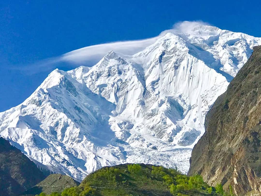
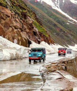
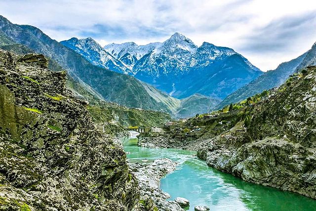
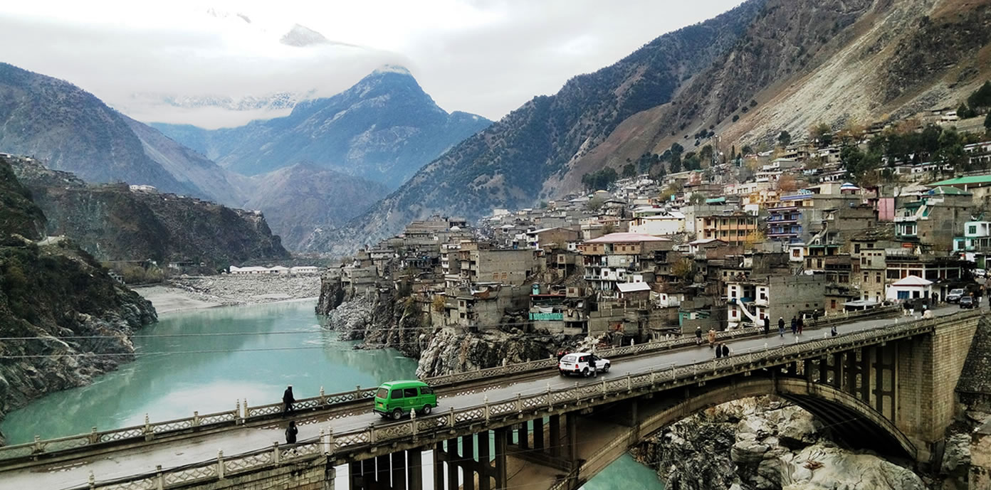
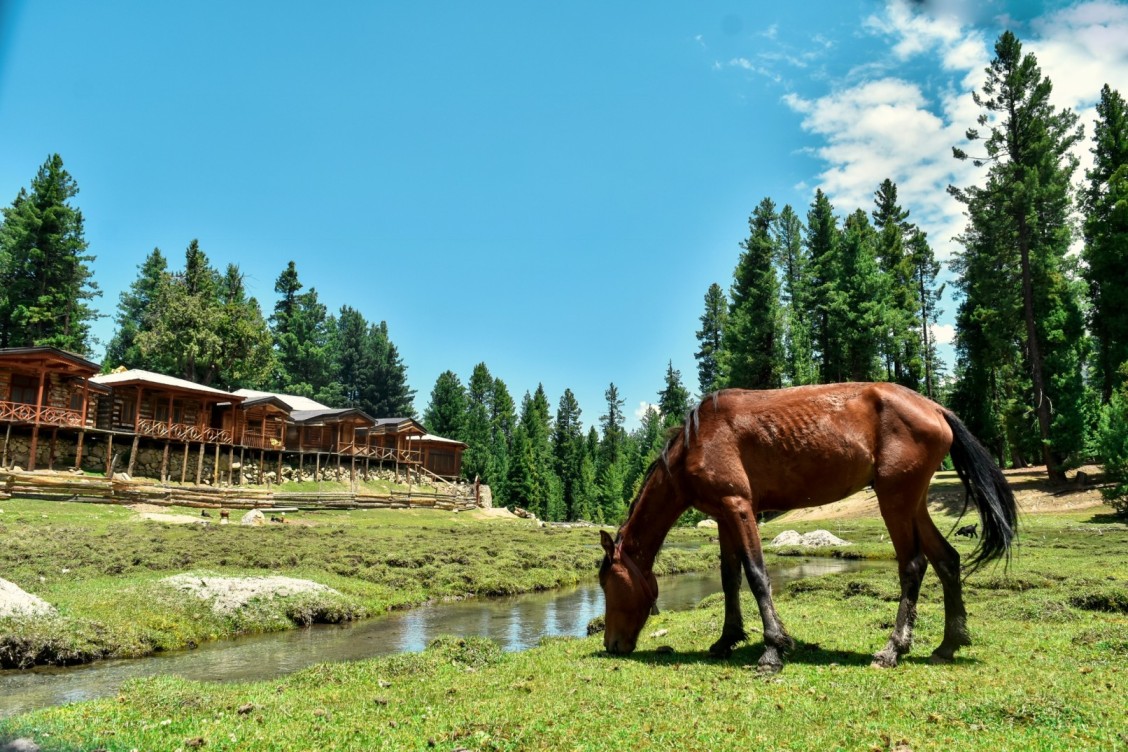
Islamabad International Airport serves as the country’s most efficient international gateway, especially for travelers heading north. Many journeys toward Gilgit-Baltistan, Kaghan Valley, or Azad Kashmir begin here after a night or two in the capital.
Best Time to Visit Islamabad
Seasons That Transform the City
Islamabad’s beauty is seasonal, and each phase offers a distinct personality:
Spring (February–April)
Perhaps the most visually pleasing time, spring brings blossoms to parks, mild temperatures, and clear views of the Margalla Hills. Outdoor cafés, hiking trails, and cultural events peak during this period.
Summer & Monsoon (May–September)
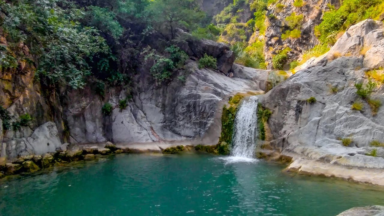
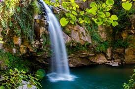
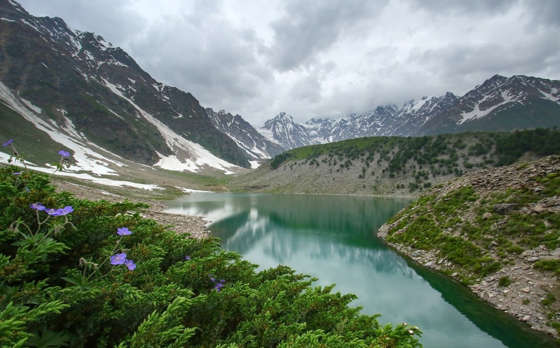
While summers can be warm, monsoon rains turn the hills deep green, waterfalls appear along Margalla trails, and Rawal Lake feels alive. This season often coincides with onward travel to cooler northern destinations like Swat Valley or Naran Valley.
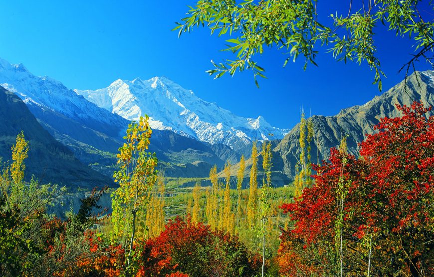
Autumn (October–November)
Clear skies, crisp evenings, and golden foliage make autumn ideal for photography and city exploration.
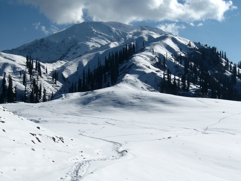
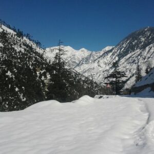
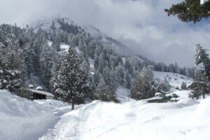
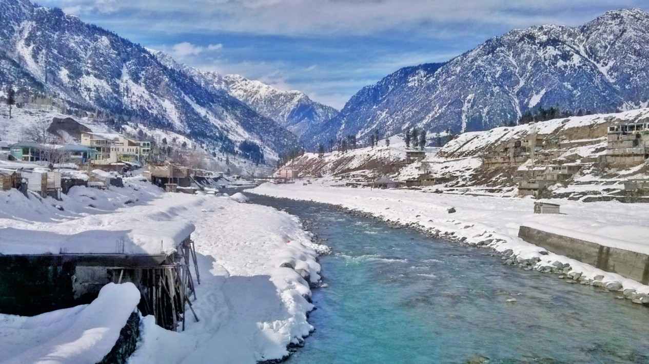
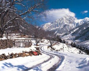
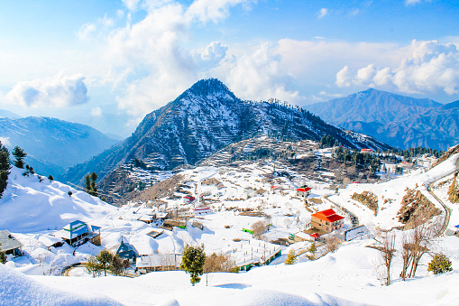
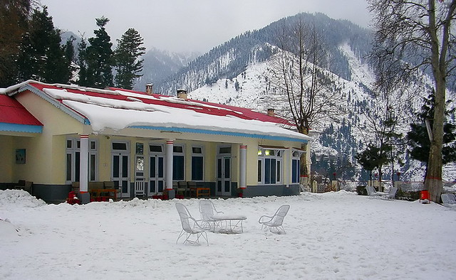
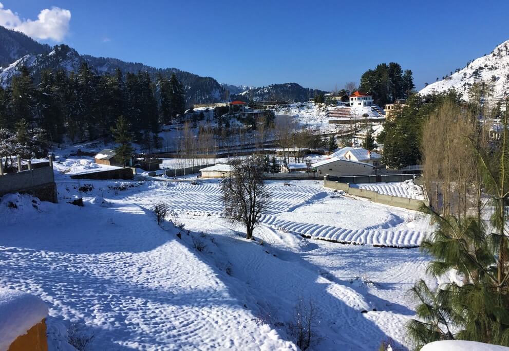
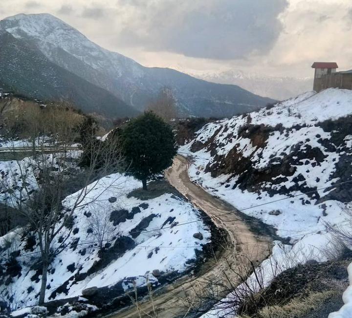
Winter (December–January)
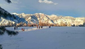
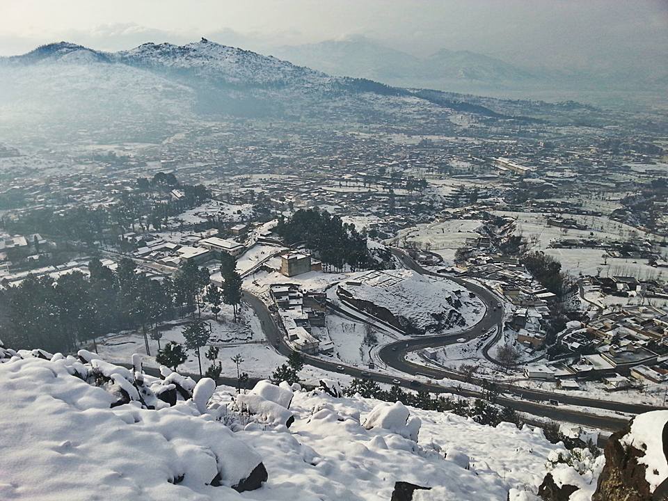
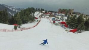
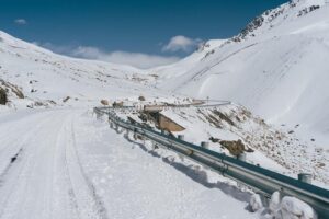
Cool mornings and misty landscapes dominate winter. While snowfall remains rare in Islamabad itself, nearby hill stations such as Murree offer quick alpine escapes.
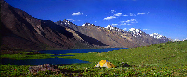
Islamabad as a Base for Northern Pakistan
Gateway to Mountains, Valleys, and Glaciers
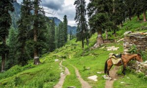
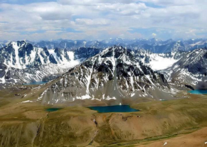
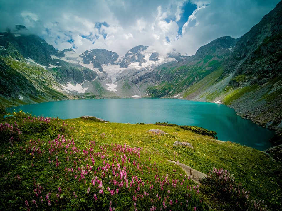
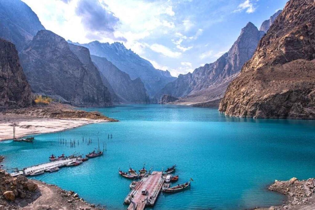
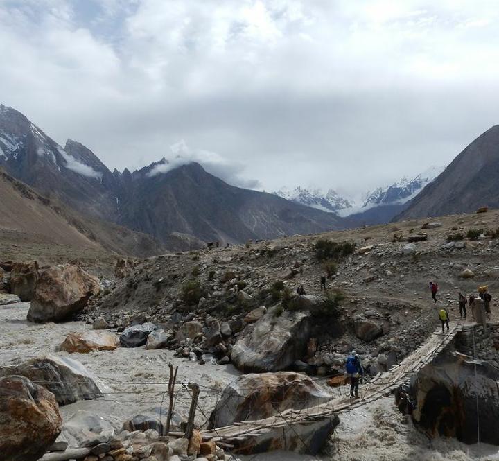
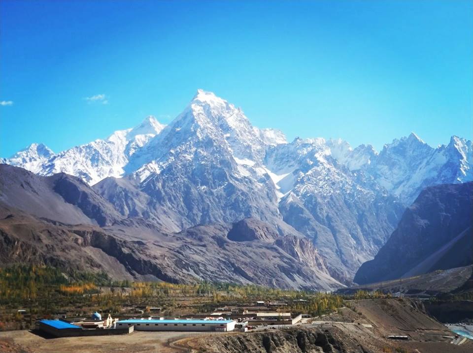
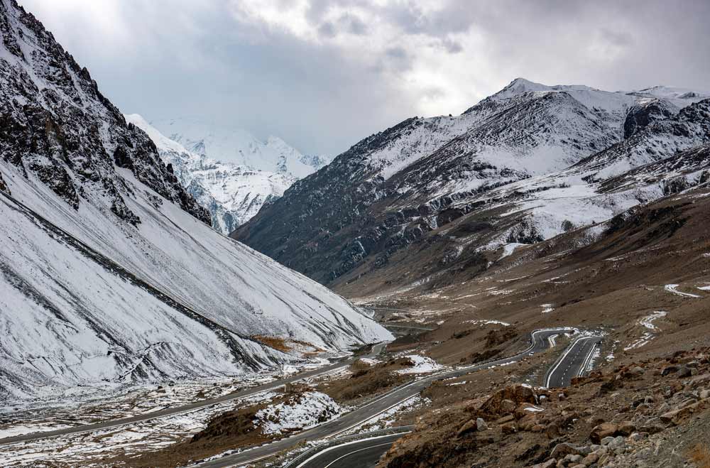
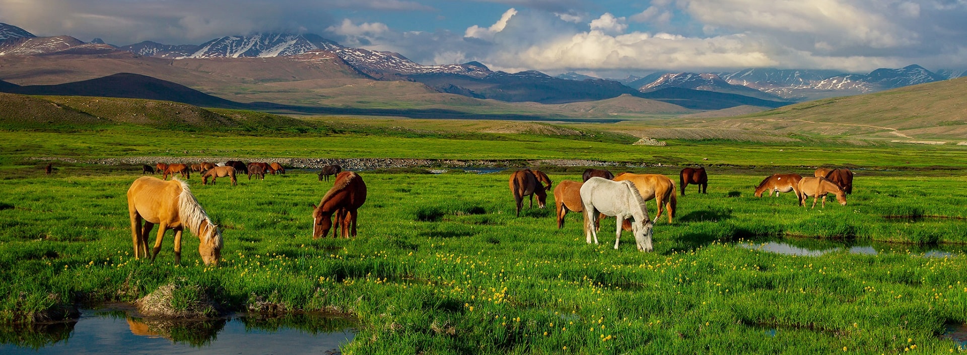
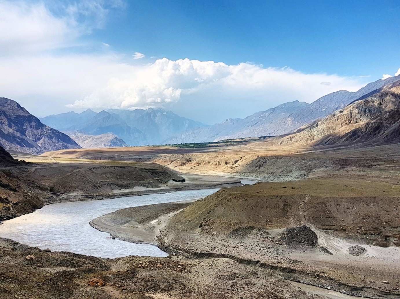
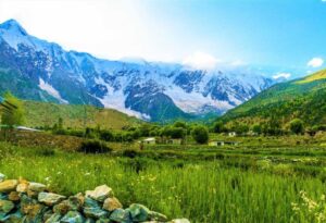
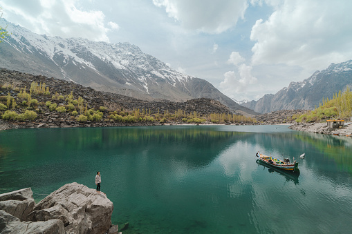
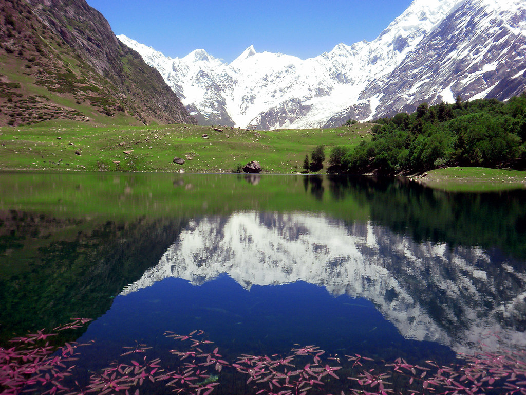
Few capitals in the world offer such immediate access to dramatic landscapes. From Islamabad, travelers can easily branch out toward:
-
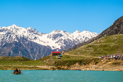
Kaghan Valley and Naran Valley for alpine lakes and meadows
-
Swat Valley for rivers, forests, and archaeological sites
-
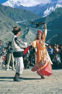
Chitral Valley and Kalash Valley for cultural immersion
-
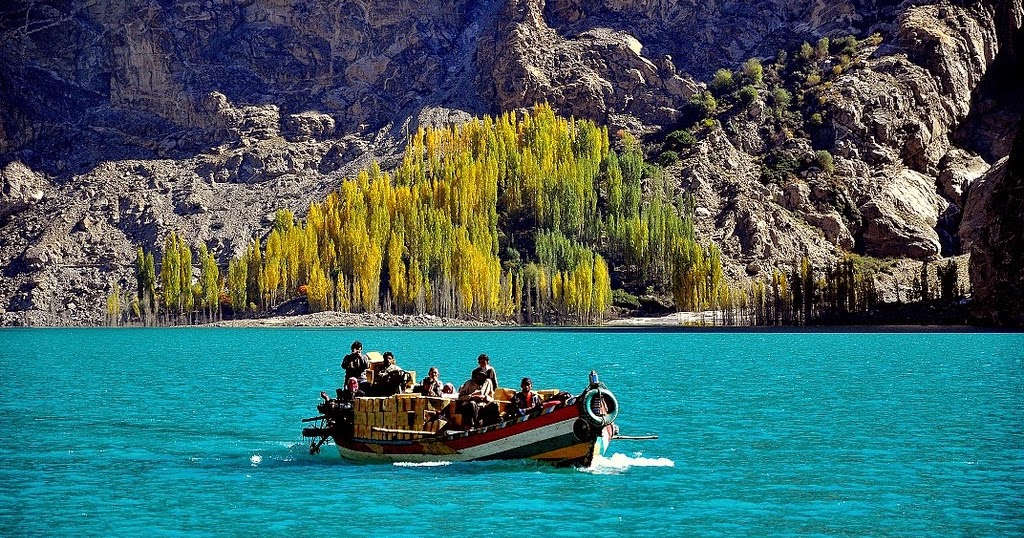
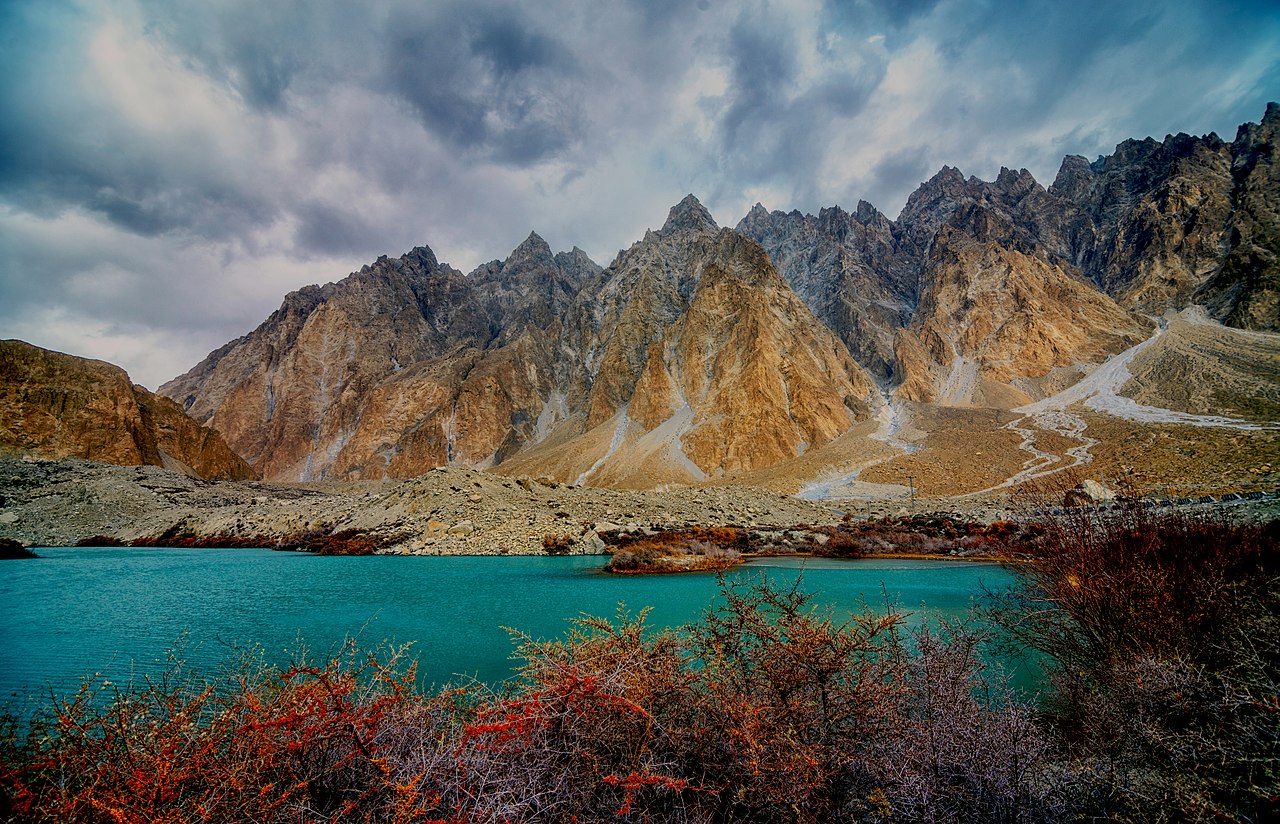
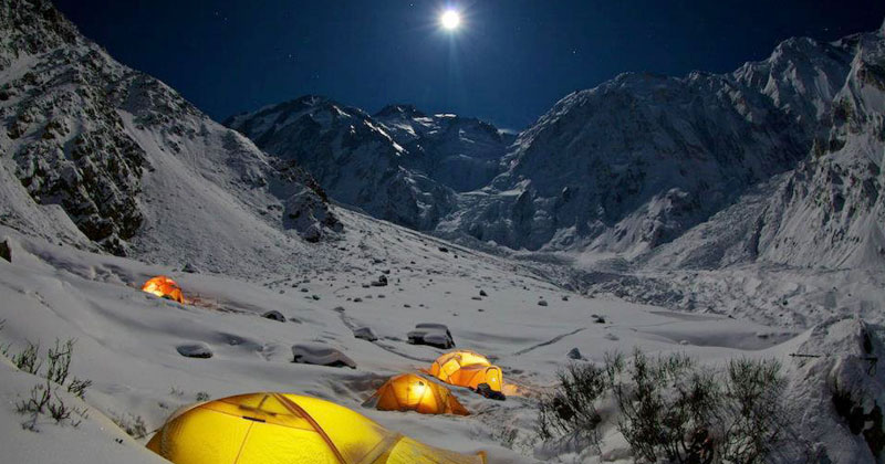
Hunza and Skardu via road or air for high-altitude exploration
This makes Islamabad not just scenic, but strategically indispensable for Pakistan tourism.
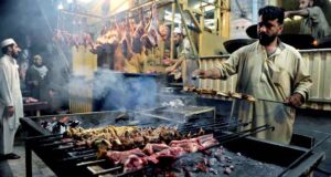
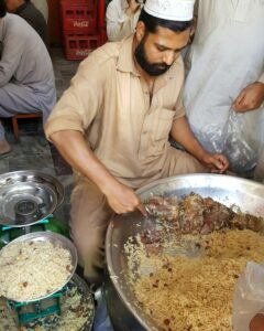
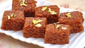
Food Culture: Subtle, Global, and Evolving
A Capital’s Culinary Identity
Islamabad’s food scene reflects its diplomatic and multicultural character rather than regional dominance. You’ll find:
-
Traditional Pakistani cuisine from every province
-
Afghan, Central Asian, Turkish, and Middle Eastern influences
-
Modern cafés and fusion restaurants catering to a young, global audience
Unlike food-centric cities such as Lahore or Karachi, Islamabad’s dining culture emphasizes ambience, view, and experience—hilltop restaurants, garden cafés, and lakeside seating.
This understated culinary approach aligns with the city’s broader philosophy: refined rather than excessive.
Safety, Cleanliness, and Quality of Life
Islamabad consistently ranks as one of Pakistan’s safest and cleanest cities. Wide roads, regulated development, and lower population density contribute to a sense of order rarely associated with South Asian capitals.
For first-time visitors to Pakistan, Islamabad often feels like the most approachable introduction—calm, navigable, and visually reassuring—before venturing into denser cultural centers or remote landscapes.
Why Islamabad Endures as a Global Benchmark?
Islamabad does not compete with the spectacle of Paris, the density of Tokyo, or the historical saturation of Rome. Instead, it defines beauty through balance:
-
A capital shaped by geography, not conquest
-
Architecture that respects nature rather than dominating it
-
Urban life designed for breathing space and human rhythm
In this sense, Islamabad is not just Pakistan’s administrative heart—it is its most thoughtful expression of modern nationhood, where identity, environment, and aspiration converge quietly.
That is why, when discussing the world’s most beautiful capitals, Islamabad is not a claim—it is a conclusion earned through design, restraint, and landscape.
And once experienced, it is rarely forgotten.
Famous Schools in Islamabad:
- Beaconhouse School System
- The City School
- Islamabad Model College for Boys/Girls
- Froebel’s International School
- Roots Millennium School
Famous Colleges in Islamabad:
- Islamabad Model College
- Federal College
- F.G. College for Women
- Punjab College
- OPF Boys College
Famous Universities in Islamabad:
- Quaid-e-Azam University
- COMSATS Institute of Information Technology
- National University of Sciences and Technology (NUST)
- Allama Iqbal Open University
- International Islamic University Islamabad
Famous Hospitals in Islamabad:
- Shifa International Hospital
- Aga Khan University Hospital
- Pakistan Institute of Medical Sciences (PIMS)
- Ali Medical Center
- Federal Government Services Hospital
Famous Restaurants in Islamabad:
- Monal Restaurant
- Tuscany Courtyard
- Chaaye Khana
- Des Pardes
- Street 1 Café
General & Global Perception FAQs
Why is Islamabad called the most beautiful capital of the world?
Islamabad is often regarded as the most beautiful capital due to its unique blend of modern urban planning, abundant greenery, scenic mountain backdrop, clean environment, and calm lifestyle—features rarely found together in a capital city.
Is Islamabad officially ranked as the most beautiful capital?
There is no single official global ranking, but Islamabad is frequently cited by travel writers, tourists, and international publications as one of the most scenic and well-planned capitals in the world.
What makes Islamabad more beautiful than other capitals?
Unlike many capitals, Islamabad was purpose-built with nature integrated into its design. Forested hills, wide roads, organized sectors, and protected green zones create a visually harmonious city.
How does Islamabad compare with capitals like Paris, Tokyo, or Rome?
While Paris excels in historic grandeur and Tokyo in modern density, Islamabad stands out for natural beauty, serenity, and urban balance rather than monument density or population scale.
Geography & Natural Setting FAQs
Where is Islamabad located geographically?
Islamabad is located in northern Pakistan at the foothills of the Margalla Hills, on the Potohar Plateau, near the boundary of Punjab and Khyber Pakhtunkhwa.
What natural features surround Islamabad?
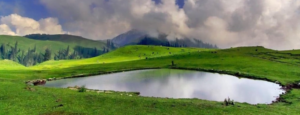
Islamabad is surrounded by the Margalla Hills National Park, Rawal Lake, forest reserves, and seasonal streams that contribute to its lush environment.
Is Islamabad close to the Himalayas?
Islamabad lies near the Himalayan foothills, specifically the Margalla range, which is considered part of the outer Himalayan system.
Why is Islamabad so green compared to other cities?
Green belts, protected forests, planned parks, and strict zoning laws were built into Islamabad’s master plan from the beginning.
City Planning & Urban Design FAQs
Who designed Islamabad?
Islamabad was designed by Greek architect and urban planner Constantinos Apostolou Doxiadis.
Why was Islamabad built as a new capital?
Islamabad was built to replace Karachi as the capital for better security, central location, climate, and long-term urban planning.
What is unique about Islamabad’s sector system?
The city is divided into self-contained sectors, each with residential areas, markets, schools, parks, and mosques, ensuring balanced urban living.
Is Islamabad a planned city?
Yes, Islamabad is one of South Asia’s most systematically planned cities, designed before large-scale settlement.
Parks, Hills & Outdoor Life FAQs
What are the main natural attractions in Islamabad?
Major attractions include Margalla Hills National Park, Rawal Lake, Daman-e-Koh, Shakarparian, Fatima Jinnah Park, and Lake View Park.
Can you hike within Islamabad city limits?
Yes, Islamabad offers multiple hiking trails within city limits, especially in the Margalla Hills.
Is Islamabad good for nature lovers?
Islamabad is one of the best cities in Pakistan for nature lovers due to its forests, trails, lakes, and wildlife.
Does Islamabad have wildlife?
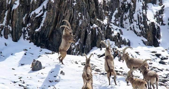
Yes, the Margalla Hills host monkeys, deer, leopards, wild boars, and numerous bird species.
Landmarks & Cultural FAQs
What is Islamabad’s most famous landmark?
The Faisal Mosque is Islamabad’s most iconic landmark and one of the largest mosques in the world.
Why is Faisal Mosque architecturally unique?
It features a modern, tent-inspired design without a traditional dome, blending contemporary architecture with Islamic symbolism.
What does the Pakistan Monument represent?
The Pakistan Monument symbolizes national unity, representing the country’s provinces and territories.
What is Lok Virsa Museum famous for?
Lok Virsa Museum preserves Pakistan’s folk traditions, crafts, music, architecture, and cultural diversity.
Travel & Tourism FAQs
Is Islamabad worth visiting for tourists?
Yes, Islamabad is ideal for tourists seeking scenic beauty, safety, cleanliness, and access to northern Pakistan.
How many days are enough for Islamabad?
Two to four days are sufficient to explore Islamabad’s main attractions at a relaxed pace.
Is Islamabad a good base for northern travel?
Islamabad is the primary gateway for travel to northern Pakistan, including valleys, mountains, and hill stations.
Can Islamabad be visited year-round?
Yes, Islamabad is a year-round destination, though spring and autumn are the most pleasant seasons.
Climate & Best Time FAQs
What is the best time to visit Islamabad?
Spring (February–April) and autumn (October–November) offer the best weather and scenery.
Does Islamabad get snowfall?
Snowfall within Islamabad city is rare, but nearby hill stations receive snow in winter.
Is Islamabad hot in summer?
Summers can be warm, but greenery, elevation, and monsoon rains moderate extreme heat.
Transport & Accessibility FAQs
How do you reach Islamabad?
Islamabad is accessible by air, motorway, and national highways from all major Pakistani cities.
Is Islamabad easy to navigate?
Yes, Islamabad’s grid system, wide roads, and clear signage make navigation simple.
Is public transport available in Islamabad?
Yes, Islamabad has buses, ride-hailing services, and a metro bus system connecting to Rawalpindi.
Safety & Lifestyle FAQs
Is Islamabad safe for tourists?
Islamabad is considered one of the safest cities in Pakistan for both locals and tourists.
Is Islamabad clean compared to other cities?
Yes, Islamabad is widely regarded as one of Pakistan’s cleanest cities.
Is Islamabad expensive?
Islamabad has a higher cost of living than many Pakistani cities, but it remains affordable by global standards.
Food & Culture FAQs
What kind of food is Islamabad known for?
Islamabad offers diverse cuisine, including traditional Pakistani food and international options.
Is Islamabad a street-food city?
Street food exists, but Islamabad is better known for cafés, restaurants, and scenic dining spots.
Education & Intellectual Life FAQs
Is Islamabad an education hub?
Yes, Islamabad hosts some of Pakistan’s top universities, research centers, and schools.
Why do students prefer Islamabad?
Students value Islamabad for safety, academic institutions, calm environment, and quality of life.
Comparative & Intent-Based FAQs
Is Islamabad better than Lahore for tourists?
Islamabad is better for nature and calm travel, while Lahore is better for history and food culture.
Is Islamabad better than Karachi?
Islamabad is quieter and greener, while Karachi is larger, busier, and economically driven.
Is Islamabad good for family travel?
Yes, Islamabad is one of the best cities in Pakistan for family-friendly travel.
Conceptual & Curiosity FAQs
Why does Islamabad feel different from other capitals?
Because it was designed for balance, not density—prioritizing space, greenery, and long-term livability.
Is Islamabad a modern or traditional city?
Islamabad is modern in infrastructure but culturally rooted through museums, heritage villages, and national symbolism.
What kind of travelers love Islamabad most?
Nature lovers, photographers, families, slow travelers, and first-time visitors to Pakistan.
Legacy & Identity FAQs
What does Islamabad represent for Pakistan?
Islamabad represents Pakistan’s vision of a modern, orderly, and environmentally integrated capital.
Will Islamabad remain beautiful in the future?
Due to zoning laws and protected natural areas, Islamabad is better positioned than most cities to retain its beauty.
Why do visitors remember Islamabad differently?
Because its beauty is subtle—experienced through calm mornings, mountain views, and spatial harmony rather than spectacle.
Final Thoughts on Islamabad
Islamabad’s beauty does not announce itself loudly. It does not rely on centuries-old monuments packed into narrow streets, nor does it overwhelm with scale, density, or spectacle. Instead, its distinction lies in something far rarer among world capitals: intentional balance.
This is a city where nature was not pushed aside to make room for power, but deliberately preserved to coexist with it. Where governance operates alongside forests, hills, lakes, and open skies. Where urban life unfolds at a humane pace, shaped by space, silence, and scenery rather than congestion and chaos.
What makes Islamabad exceptional is not just how it looks—but how it feels.
It feels calm without being empty.
Modern without being sterile.
Planned without being rigid.
Green without being artificial.
As a capital, Islamabad represents a forward-looking vision—one where national identity is expressed not through excess, but through restraint; not through domination of land, but through respect for it. It serves simultaneously as Pakistan’s administrative heart, cultural meeting ground, academic center, and the most natural gateway to the country’s most dramatic landscapes.
For travelers, Islamabad offers clarity and comfort before exploration.
For residents, it offers livability without compromise.
For Pakistan, it offers a quiet statement of what thoughtful urban design can achieve.
In a world where many capitals struggle under the weight of their own growth, Islamabad stands as proof that a capital city can remain beautiful, breathable, and meaningful—not by accident, but by design.
And that is why Islamabad is not merely called one of the most beautiful capitals of the world.
It lives up to the title-every single day.


 – The Switzerland of the East")


 – An Enchanting Gift of Nature")


, Pakistan")